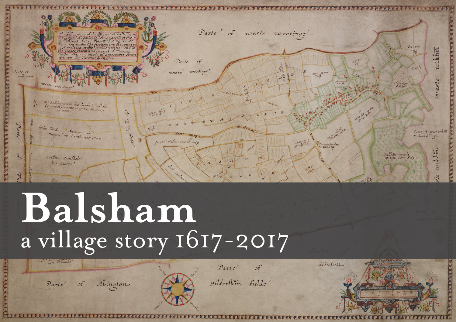

The London Charterhouse map was commissioned by the Governors of the Charterhouse estate in 1616 and completed in 1617. It was surveyed and compiled by Thomas Langdon, a Tudor cartographer and Oxford University alumni. Estate maps had a practical use, showing enclosures and providing a means of administrating large areas of land in a litigious society. Cartography served a social purpose by recording land ownership.
The 1617 map, like others of this period contains symbolic meanings which reference status, pride and landscape. Decoration ‘which appears to have been included as a routine act of decoration…should not be underestimated’ (Harley, 1983). The title cartouche and decoration on each sheet reflect the social aims of the Charterhouse estate and affluence.
Come along to the Church Institute in Balsham on Saturday, 21st March to find to more about Thomas Langdon and his magnificent map!